

Overview:
- The Clinton River Water Trail runs 72 paddleable miles through Metro Detroit, with 23 public access points and state-approved safety systems.
- The river has three distinct sections: calm upper lakes near Waterford, challenging middle rapids from Auburn Hills to Utica, and a gentle lower stretch to Lake St. Clair.
- New improvements include kayak racks built by local students, six accessible launches, and interactive Google Maps showing launches, portages, and reported log jams.
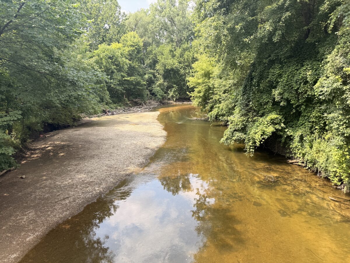
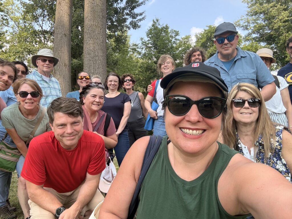
A group of Planet Detroiters met Sunday morning at Clinton River Heritage Park in Utica and walked a little under a mile into downtown, following the river past a floating dock, a stretch of freshly cut log jam, and a bank thick with Virginia creeper and a few sprigs of poison ivy.
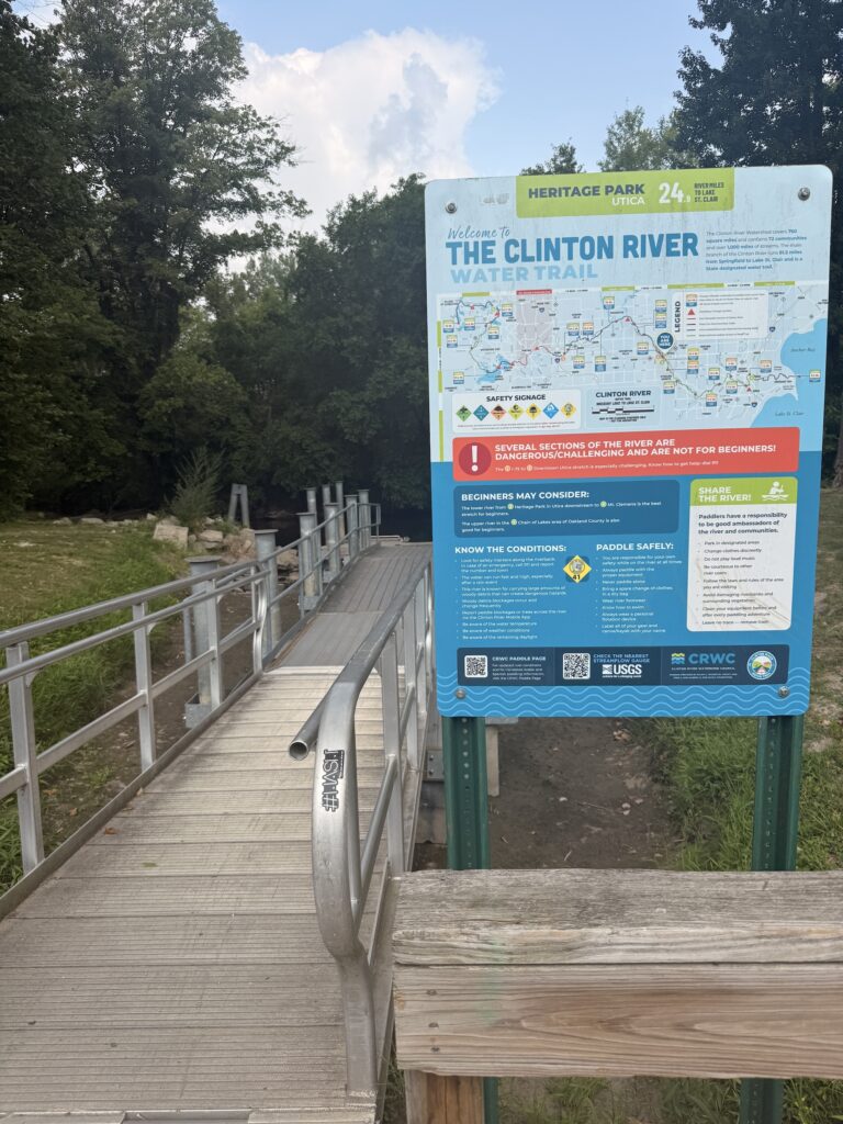
The subject of the walk was the Clinton River Water Trail. The trail has 23 public access points strung between Waterford and Lake St. Clair, a set of state-approved maps and numbered safety signs, and a small staff at the watershed council trying to keep all of it current against a river that rearranges itself every time it rains hard.
A water trail in 3 parts
Jeffery Schiffman, watershed planner at the Clinton River Watershed Council, led the walk. He started with the name.
The river is named for DeWitt Clinton, who was governor of New York, not Michigan. He championed the Erie Canal, and Michigan boosters hoped that flattering him would help them get a canal of their own dug from Lake St. Clair west across the state. Construction started, money ran out after about a decade, and remnants of the ditch are still visible north of Utica.
CRWC itself was founded in 1972 as a consortium of local governments organized to stop the Army Corps of Engineers from channelizing the river. It reorganized as a nonprofit in 1994.
The watershed covers 760 square miles across four counties and is the most populated watershed in Michigan. The river runs about 81 miles, 72 of them paddleable. It disappears underground in Pontiac, which is why that section shows up red on the water trail maps.
Schiffman divides the water trail into three personalities. The upper river through the Waterford chain of lakes is calm and beginner-friendly. The middle stretch from Auburn Hills to Utica drops several hundred feet and demands real skill. From Utica down to Lake St. Clair, the gradient flattens, the channel widens, and it gets forgiving again.
Flashy water, fallen trees
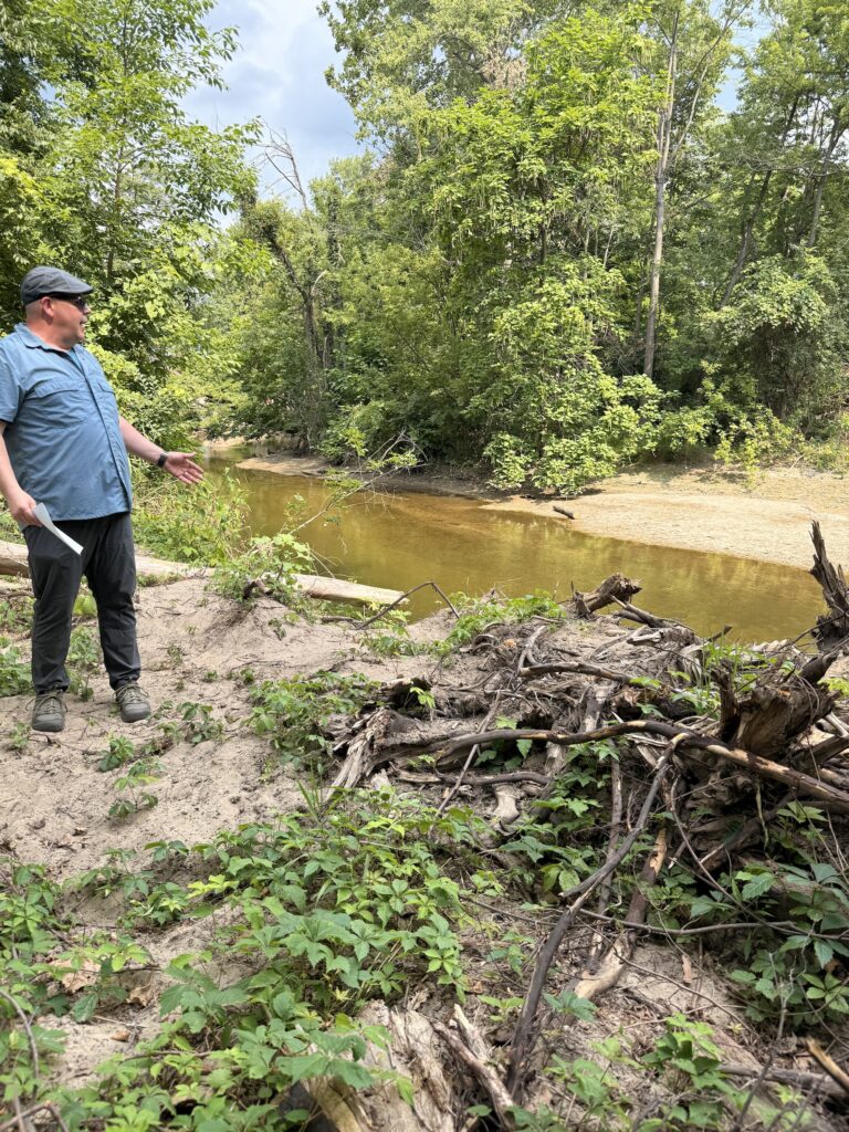
The river is flashy, meaning it rises and falls fast. Everything south of Auburn Hills is heavily developed, so rain hits pavement and roofs and arrives in the channel almost immediately. High flows pull leaning trees off the banks, and one downed tree is enough to collect everything moving downstream into a log jam.
(I got pinned to one years ago and had to be pulled out by the Macomb County Sheriff, who thankfully happened to be paddling with us that day, so I asked how that work is going.)
Better, it turns out, though the balance is delicate. Large woody debris is habitat and bank stabilization as well as a hazard, and by state rule anything embedded in the streambank cannot be removed without a permit.
The specialized contractor who handles most of this work for Macomb County, Oakland County, and Shelby Township tends to notch or trim logs rather than haul them out. Some jams stay put for years because there is no way to get equipment to them. A known obstruction in Rochester Hills sits at the bottom of a bluff ringed by private homes, Schiffman said.
New Clinton River plan with more amenities
The trail earned state designation in 2020, one of a growing number in Southeast Michigan. Designation means the state has signed off on the plan, the maps, the signage, and the safety system. Numbered safety signs appear every few miles — they’re geocoded so a 911 dispatcher can find you from the number — and are translated into Spanish and Arabic.
CRWC published a new water trail plan in March. Paddler feedback pushed amenities to the top of the list of desired projects. There is nowhere to lock a boat at most launches, so career and technical education students in both counties are building kayak racks this year for installation starting in the fall.
Six accessible universal launches are now in, with another silted in at River Bends Park awaiting repair. The council hired a dedicated water trail coordinator this spring and rolled out interactive Google Maps that load onto your phone and show launches, portages, amenities, and reported log jams.
Before you go
There is no registration, no one to check in with, and no one recommends going alone.
Resources
- Paddling page, maps and interactive trail maps: crwc.org/recreation/paddling
- 2026 Clinton River Water Trail Plan: PDF
- Printable water trail map: PDF
- Report a log jam: reporting form
- USGS stream gauges: Auburn Hills | Sterling Heights | Fraser | Mount Clemens
- Safety signs in Spanish and Arabic: Spanish | Arabic
- Large Woody Debris Manual: PDF
- Outside With Clyde video series, covering nearly the whole river: YouTube playlist
- Clinton River MI Paddle Group on Facebook: group page
- Rentals: Clinton River Canoe & Kayak in Chesterfield, Simple Adventures Paddle Sports
- Macomb County surface water monitoring and E. coli data: macombgov.org
- Michigan Eat Safe Fish guidelines: michigan.gov/eatsafefish
MORE OUTDOOR RECREATION STORIES

Detroit nature group joins Sibley Prairie coalition to preserve ‘last of its kind’ landscape
A coalition is fundraising to protect Sibley Prairie, a 440-acre lakeplain prairie in Brownstown Township. Less than 0.5% of Michigan’s original acreage remains.

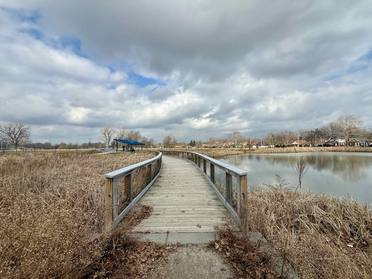
Green stormwater infrastructure in Detroit parks offers examples of flooding solutions
The Chandler Park Marshland “serves as an example of how we can do stormwater in the community,” says Alex Allen, president of the park conservancy.

Stanton Yards development merges art, nature on Detroit River, envisions ‘thriving new community destination’
A waterfront extension of Detroit’s Little Village cultural development is planned as a 13-acre public gathering place.